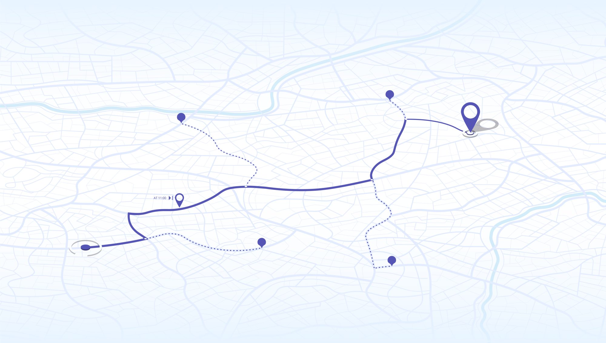
A single plastic fragment can travel hundreds of kilometres, changing shape and gathering microbes along the way. TULIP tracks that journey from city street to sea shelf. Drones and satellites flag floating slicks; river sensors count particles below the surface; and GPS-tagged drifters reveal where currents, dams or storm surges concentrate debris.
The resulting maps light up “pinch points” — bridge pilings that snag litter, estuary bends where microplastics settle, and delta edges where wind rows debris into dense lines. Local authorities can then target boom installations, litter-trap baskets or rapid-response clean-ups exactly where they deliver the biggest payoff.
Beyond clean-up logistics, these journey maps feed back into product-stewardship laws and consumer campaigns, turning hard data into upstream prevention. By showing where plastic goes and why, TULIP makes the invisible visible and gives communities the knowledge to break the cycle.

